| Matitanana | |
|---|---|
 Matitanana | |
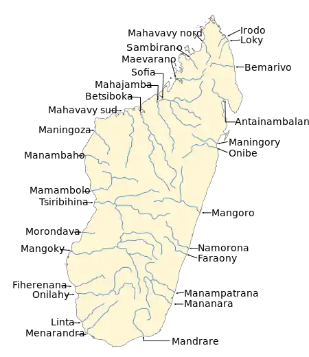 Map of Malagasy rivers. | |
| Location | |
| Country | Madagascar |
| Region | Fitovinany |
| Physical characteristics | |
| Mouth | |
• location | Indian Ocean, near Vohipeno |
• coordinates | 22°25′00″S 47°55′00″E / 22.41667°S 47.91667°E |
| Length | 140 km (87 mi) |
| Basin size | 4395 km2 |
| Basin features | |
| Progression | Ifanirea, Andemaka, Vohipeno |
| Tributaries | |
| • left | Sandrananta River |
| • right | Rienana, Matatana |
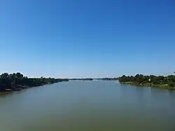
The Matitanana river in Fitovinany region, is located in eastern Madagascar. It flows into the Indian Ocean[1] near Vohipeno.
Falls
- Ankitso falls
References
Wikimedia Commons has media related to Matitanana.
This article is issued from Wikipedia. The text is licensed under Creative Commons - Attribution - Sharealike. Additional terms may apply for the media files.