Mata | |
|---|---|
 | |
 Flag  Seal | |
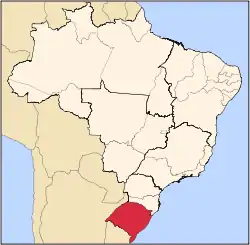
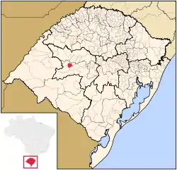 Location in Rio Grande do Sul, Brazil | |
 Mata Location in Brazil | |
| Coordinates: 29°33′57″S 54°27′36″W / 29.56583°S 54.46000°W | |
| Country | Brazil |
| Region | South |
| State | Rio Grande do Sul |
| Government | |
| • Mayor | Sergio Roni Bruning |
| Area | |
| • Total | 312.120 km2 (120.510 sq mi) |
| Elevation | 127 m (417 ft) |
| Population (2020 [1]) | |
| • Total | 4,797 |
| • Density | 15/km2 (40/sq mi) |
| Time zone | UTC−3 (BRT) |
Mata is a municipality in Rio Grande do Sul in Brazil.
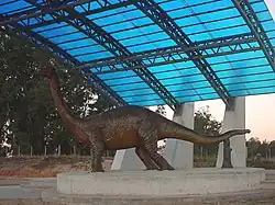
Paleontology
The city of Mata has large deposits of petrified trees.
Museum of the city that have fossils:
- Museum Daniel Cargnin.
- Palaeobotanical Garden in Mata
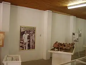 Museum Daniel Cargnin
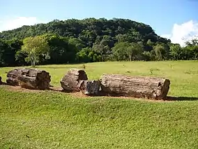 Petrified wood in the Paleobotanic Park
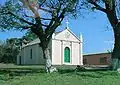 São Roque community
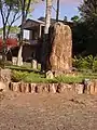
References
External links
 Mata travel guide from Wikivoyage
This article is issued from Wikipedia. The text is licensed under Creative Commons - Attribution - Sharealike. Additional terms may apply for the media files.