Monleón | |
|---|---|
.jpg.webp) | |
 Flag  Seal | |
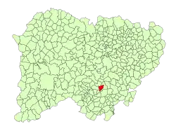 Location in Salamanca | |
| Coordinates: 40°35′9″N 5°50′50″W / 40.58583°N 5.84722°W | |
| Country | Spain |
| Autonomous community | Castile and León |
| Province | Salamanca |
| Comarca | Comarca de Guijuelo |
| Subcomarca | Entresierras |
| Government | |
| • Mayor | Juan María de Arriba Diaz (People's Party) |
| Area | |
| • Total | 19 km2 (7 sq mi) |
| Elevation | 878 m (2,881 ft) |
| Population (2018)[2] | |
| • Total | 91 |
| • Density | 4.8/km2 (12/sq mi) |
| Time zone | UTC+1 (CET) |
| • Summer (DST) | UTC+2 (CEST) |
| Postal code | 37765 |
Monleón is a municipality located in the province of Salamanca, Castile and León, Spain. As of 2016 the municipality has a population of 90 inhabitants.[3]
References
- 1 2 "Municipio:Monleón". www.lasalina.es. Retrieved 2017-11-06.
- ↑ Municipal Register of Spain 2018. National Statistics Institute.
- ↑ "Salamanca: Población por municipios y sexo". www.ine.es (in Spanish). Retrieved 2017-11-06.
This article is issued from Wikipedia. The text is licensed under Creative Commons - Attribution - Sharealike. Additional terms may apply for the media files.