Montederramo | |
|---|---|
municipality | |
.svg.png.webp) Seal | |
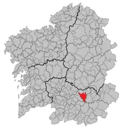 Location in Galicia | |
 Montederramo Location in Spain | |
| Coordinates: 42°16′36″N 7°30′25″W / 42.27667°N 7.50694°W | |
| Country | |
| Autonomous community | |
| Province | |
| Comarca | Terra de Caldelas |
| Government | |
| • Mayor | Antonio Rodríguez Álvarez (People's Party) |
| Area | |
| • Total | 135.6 km2 (52.4 sq mi) |
| Elevation | 904 m (2,966 ft) |
| Population (2018)[2] | |
| • Total | 722 |
| • Density | 5.3/km2 (14/sq mi) |
| Time zone | UTC+1 (CET) |
| • Summer (DST) | UTC+2 (CEST) |
| Website | http://www.montederramo.es/ |
Montederramo is a municipality in Ourense (province) in the Galicia region of north-west Spain.
References
- ↑ "IGE. Táboas". www.ige.eu (in Galician). Retrieved 2017-10-07.
- ↑ Municipal Register of Spain 2018. National Statistics Institute.
This article is issued from Wikipedia. The text is licensed under Creative Commons - Attribution - Sharealike. Additional terms may apply for the media files.