O Bolo | |
|---|---|
municipality | |
 Seal | |
 Location in Galicia | |
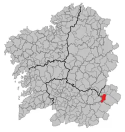
 O Bolo Location in Spain | |
| Coordinates: 42°18′24″N 7°05′56″W / 42.30667°N 7.09889°W | |
| Country | |
| Autonomous community | |
| Province | |
| Comarca | Valdeorras |
| Government | |
| • Mayor | Manuel Corzo Macías (People's Party) |
| Area | |
| • Total | 91.2 km2 (35.2 sq mi) |
| Elevation | 785 m (2,575 ft) |
| Population (2018)[2] | |
| • Total | 917 |
| • Density | 10/km2 (26/sq mi) |
| Time zone | UTC+1 (CET) |
| • Summer (DST) | UTC+2 (CEST) |
| INE municipality code | 32015 |
| Website | www |
O Bolo (spanish El Bollo) is a municipality in Ourense in the Galicia region of north-west Spain. It is located towards the south-east of the province.
References
- ↑ "IGE. Táboas". www.ige.eu (in Galician). Retrieved 2017-10-07.
- ↑ Municipal Register of Spain 2018. National Statistics Institute.
External links
- Ayuntamiento de El Bollo in Spanish.
- Concello de O Bolo in Galician.
This article is issued from Wikipedia. The text is licensed under Creative Commons - Attribution - Sharealike. Additional terms may apply for the media files.