Saint-Saulge | |
|---|---|
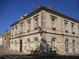 The town hall in Saint-Saulge | |
Location of Saint-Saulge | |
 Saint-Saulge  Saint-Saulge | |
| Coordinates: 47°06′20″N 3°30′48″E / 47.1056°N 3.5133°E | |
| Country | France |
| Region | Bourgogne-Franche-Comté |
| Department | Nièvre |
| Arrondissement | Nevers |
| Canton | Guérigny |
| Government | |
| • Mayor (2020–2026) | Christian Gentil[1] |
| Area 1 | 25.77 km2 (9.95 sq mi) |
| Population | 708 |
| • Density | 27/km2 (71/sq mi) |
| Time zone | UTC+01:00 (CET) |
| • Summer (DST) | UTC+02:00 (CEST) |
| INSEE/Postal code | 58267 /58330 |
| Elevation | 245–403 m (804–1,322 ft) |
| 1 French Land Register data, which excludes lakes, ponds, glaciers > 1 km2 (0.386 sq mi or 247 acres) and river estuaries. | |
Saint-Saulge (French pronunciation: [sɛ̃ soʒ]) is a commune in the Nièvre department in central France.[3]
See also
References
- ↑ "Répertoire national des élus: les maires". data.gouv.fr, Plateforme ouverte des données publiques françaises (in French). 2 December 2020.
- ↑ "Populations légales 2021". The National Institute of Statistics and Economic Studies. 28 December 2023.
- ↑ INSEE commune file
Wikimedia Commons has media related to Saint-Saulge.
This article is issued from Wikipedia. The text is licensed under Creative Commons - Attribution - Sharealike. Additional terms may apply for the media files.