Averton | |
|---|---|
 Coat of arms | |
Location of Averton | |
 Averton 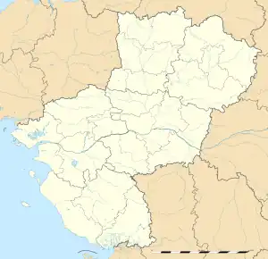 Averton | |
| Coordinates: 48°19′59″N 0°13′23″W / 48.3331°N 0.2231°W | |
| Country | France |
| Region | Pays de la Loire |
| Department | Mayenne |
| Arrondissement | Mayenne |
| Canton | Villaines-la-Juhel |
| Intercommunality | CC Mont Avaloirs |
| Government | |
| • Mayor (2020–2026) | Jean-Paul Pichonnier[1] |
| Area 1 | 40.62 km2 (15.68 sq mi) |
| Population | 557 |
| • Density | 14/km2 (36/sq mi) |
| Time zone | UTC+01:00 (CET) |
| • Summer (DST) | UTC+02:00 (CEST) |
| INSEE/Postal code | 53013 /53700 |
| Elevation | 124–292 m (407–958 ft) (avg. 108 m or 354 ft) |
| 1 French Land Register data, which excludes lakes, ponds, glaciers > 1 km2 (0.386 sq mi or 247 acres) and river estuaries. | |
Averton (French pronunciation: [avɛʁtɔ̃]) is a commune in the Mayenne department in northwestern France.
Population
| Year | Pop. | ±% p.a. |
|---|---|---|
| 1968 | 542 | — |
| 1975 | 521 | −0.56% |
| 1982 | 551 | +0.80% |
| 1990 | 582 | +0.69% |
| 1999 | 601 | +0.36% |
| 2009 | 615 | +0.23% |
| 2014 | 604 | −0.36% |
| 2020 | 558 | −1.31% |
| Source: INSEE[3] | ||
See also
References
- ↑ "Répertoire national des élus: les maires". data.gouv.fr, Plateforme ouverte des données publiques françaises (in French). 2 December 2020.
- ↑ "Populations légales 2021". The National Institute of Statistics and Economic Studies. 28 December 2023.
- ↑ Population en historique depuis 1968, INSEE
Wikimedia Commons has media related to Averton.
This article is issued from Wikipedia. The text is licensed under Creative Commons - Attribution - Sharealike. Additional terms may apply for the media files.