Launay-Villiers | |
|---|---|
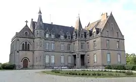 The Château of Villiers, in Launay-Villiers | |
Location of Launay-Villiers | |
 Launay-Villiers 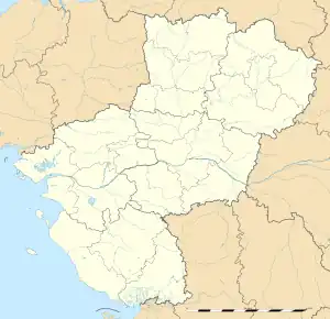 Launay-Villiers | |
| Coordinates: 48°08′05″N 1°00′27″W / 48.1347°N 1.0075°W | |
| Country | France |
| Region | Pays de la Loire |
| Department | Mayenne |
| Arrondissement | Laval |
| Canton | Loiron-Ruillé |
| Intercommunality | Laval Agglomération |
| Government | |
| • Mayor (2020–2026) | Hervé Lhotellier[1] |
| Area 1 | 9.05 km2 (3.49 sq mi) |
| Population | 366 |
| • Density | 40/km2 (100/sq mi) |
| Time zone | UTC+01:00 (CET) |
| • Summer (DST) | UTC+02:00 (CEST) |
| INSEE/Postal code | 53129 /53410 |
| Elevation | 107–172 m (351–564 ft) (avg. 140 m or 460 ft) |
| 1 French Land Register data, which excludes lakes, ponds, glaciers > 1 km2 (0.386 sq mi or 247 acres) and river estuaries. | |
Launay-Villiers (French pronunciation: [lonɛ vilje]) is a commune in the Mayenne department in north-western France.
See also
References
- ↑ "Répertoire national des élus: les maires". data.gouv.fr, Plateforme ouverte des données publiques françaises (in French). 9 August 2021.
- ↑ "Populations légales 2021". The National Institute of Statistics and Economic Studies. 28 December 2023.
Wikimedia Commons has media related to Launay-Villiers.
This article is issued from Wikipedia. The text is licensed under Creative Commons - Attribution - Sharealike. Additional terms may apply for the media files.