Chapaize | |
|---|---|
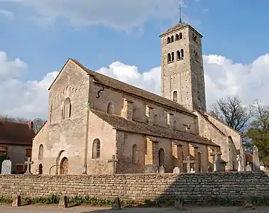 The church in Chapaize | |
 Coat of arms | |
Location of Chapaize | |
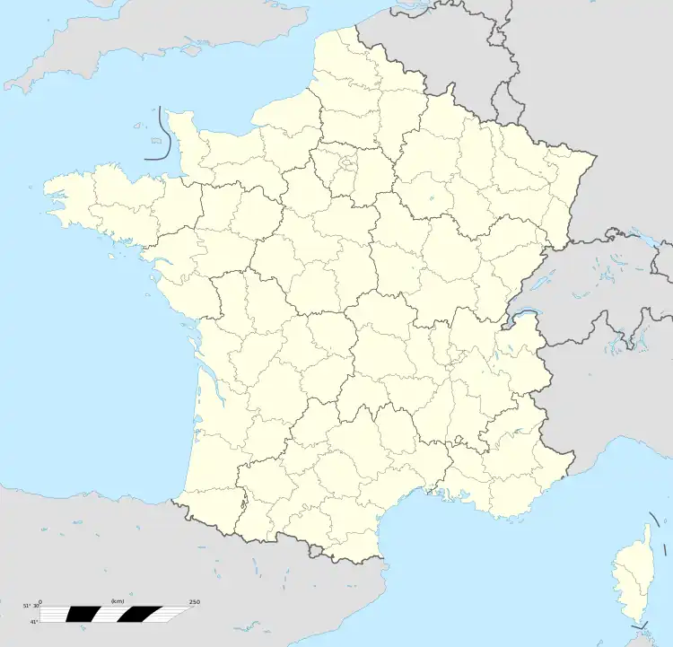  Chapaize 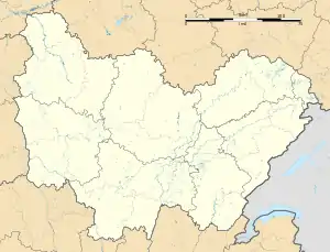 Chapaize | |
| Coordinates: 46°33′29″N 4°44′17″E / 46.5581°N 4.7381°E | |
| Country | France |
| Region | Bourgogne-Franche-Comté |
| Department | Saône-et-Loire |
| Arrondissement | Chalon-sur-Saône |
| Canton | Cluny |
| Government | |
| • Mayor (2020–2026) | J Michel Cognard[1] |
| Area 1 | 13.76 km2 (5.31 sq mi) |
| Population | 164 |
| • Density | 12/km2 (31/sq mi) |
| Time zone | UTC+01:00 (CET) |
| • Summer (DST) | UTC+02:00 (CEST) |
| INSEE/Postal code | 71087 /71460 |
| Elevation | 203–315 m (666–1,033 ft) (avg. 200 m or 660 ft) |
| 1 French Land Register data, which excludes lakes, ponds, glaciers > 1 km2 (0.386 sq mi or 247 acres) and river estuaries. | |
Chapaize (French pronunciation: [ʃapɛz]) is a commune in the Saône-et-Loire department in the region of Bourgogne-Franche-Comté in eastern France.
Sights
It features a Romanesque church built in the 11th century, in lombard style, surrounded by stone-built houses with the typical covered galleries of this region with a 16th-century watch tower. In the hamlet of Lancharre, there is a church of the 12th century, remains of a canonnesse's monastery.
Around Chapaize lie a large state and communal forest and two ponds. In the 4 hamlets of Chapaize (Bessuge, Gemaugue, Lancharre and Chapaize), there are several laundrettes which were still used at the beginning of the 1950s.
See also
References
- ↑ "Répertoire national des élus: les maires" (in French). data.gouv.fr, Plateforme ouverte des données publiques françaises. 13 September 2022.
- ↑ "Populations légales 2021". The National Institute of Statistics and Economic Studies. 28 December 2023.
External links

Wikimedia Commons has media related to Chapaize.
- Photos tagged with "Chapaize" at Flickr
- www.chapaize.org Archived 2009-04-02 at the Wayback Machine
- www.art-roman.net/chapaize.htm
- Pictures of the church
- Chapaize on the site Bourgogne Romane

This article is issued from Wikipedia. The text is licensed under Creative Commons - Attribution - Sharealike. Additional terms may apply for the media files.