Cortambert | |
|---|---|
Commune | |
 | |
Location of Cortambert | |
 Cortambert  Cortambert | |
| Coordinates: 46°28′45″N 4°42′54″E / 46.4792°N 4.715°E | |
| Country | France |
| Region | Bourgogne-Franche-Comté |
| Department | Saône-et-Loire |
| Arrondissement | Mâcon |
| Canton | Cluny |
| Intercommunality | Clunisois |
| Area 1 | 16.02 km2 (6.19 sq mi) |
| Population | 258 |
| • Density | 16/km2 (42/sq mi) |
| Time zone | UTC+01:00 (CET) |
| • Summer (DST) | UTC+02:00 (CEST) |
| INSEE/Postal code | 71146 /71250 |
| Elevation | 220–505 m (722–1,657 ft) (avg. 336 m or 1,102 ft) |
| 1 French Land Register data, which excludes lakes, ponds, glaciers > 1 km2 (0.386 sq mi or 247 acres) and river estuaries. | |
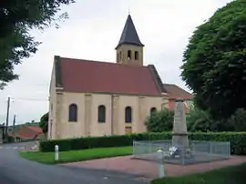
Cortambert is a commune in the Saône-et-Loire department in the region of Bourgogne-Franche-Comté in eastern France.
Geography
The Grosne forms most of the commune's western border.
See also
References
- ↑ "Populations légales 2021". The National Institute of Statistics and Economic Studies. 28 December 2023.
Wikimedia Commons has media related to Cortambert (Saône-et-Loire).
This article is issued from Wikipedia. The text is licensed under Creative Commons - Attribution - Sharealike. Additional terms may apply for the media files.