| Šuoikkatjávri | |
|---|---|
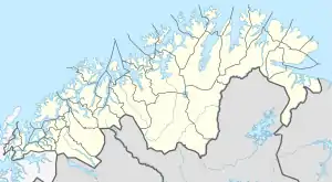 Šuoikkatjávri Location of the lake Show map of Troms og Finnmark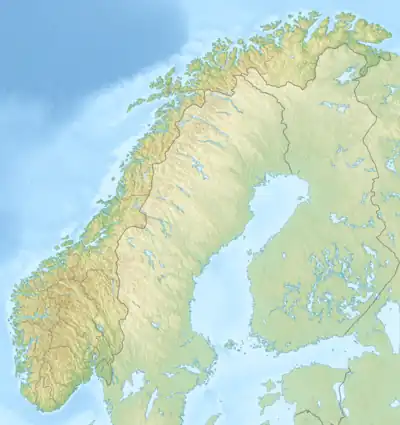 Šuoikkatjávri Šuoikkatjávri (Norway) Show map of Norway | |
| Location | Troms og Finnmark |
| Coordinates | 69°33′03″N 22°22′06″E / 69.5508°N 22.3684°E / 69.5508; 22.3684 |
| Primary outflows | Njemenjáikojohka river |
| Basin countries | Norway |
| Max. length | 11.5 kilometres (7.1 mi) |
| Max. width | 920 metres (3,020 ft) |
| Surface area | 6.44 km2 (2.49 sq mi) |
| Shore length1 | 28.35 kilometres (17.62 mi) |
| Surface elevation | 522 metres (1,713 ft) |
| References | NVE |
| 1 Shore length is not a well-defined measure. | |
Šuoikkatjávri is a lake in the municipalities of Kvænangen and Kautokeino-Guovdageaidnu in Troms og Finnmark county, Norway. The somewhat S-shaped lake is about 10 kilometres (6.2 mi) long and is only about 900 metres (3,000 ft) wide.[1] It serves as the reservoir for the Cårrujavrit Hydroelectric Power Station.
See also
References
- ↑ "Šuoikkátjávri" (in Norwegian). yr.no. Retrieved 2010-04-07.
This article is issued from Wikipedia. The text is licensed under Creative Commons - Attribution - Sharealike. Additional terms may apply for the media files.