| Grovatnet | |
|---|---|
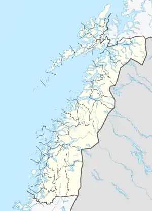 Grovatnet Location of the lake Show map of Nordland Grovatnet Grovatnet (Norway) Show map of Norway | |
| Location | Sørfold, Nordland |
| Coordinates | 67°36′58″N 15°30′15″E / 67.6162°N 15.5042°E / 67.6162; 15.5042 |
| Basin countries | Norway |
| Max. length | 4 kilometres (2.5 mi) |
| Max. width | 1 kilometre (0.62 mi) |
| Surface area | 2.64 km2 (1.02 sq mi) |
| Shore length1 | 12.7 kilometres (7.9 mi) |
| Surface elevation | 99 metres (325 ft) |
| References | NVE |
| 1 Shore length is not a well-defined measure. | |
Grovatnet is a lake that lies in the municipality of Sørfold in Nordland county, Norway. The 2.64-square-kilometre (1.02 sq mi) lake is located northeast of the Sagfjorden, about 15 kilometres (9.3 mi) southwest of the village of Mørsvikbotn.[1]
See also
References
- ↑ "Grovatnet" (in Norwegian). yr.no. Retrieved 2012-04-11.
This article is issued from Wikipedia. The text is licensed under Creative Commons - Attribution - Sharealike. Additional terms may apply for the media files.