| Stuorajávri | |
|---|---|
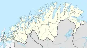 Stuorajávri Location of the lake Show map of Troms og Finnmark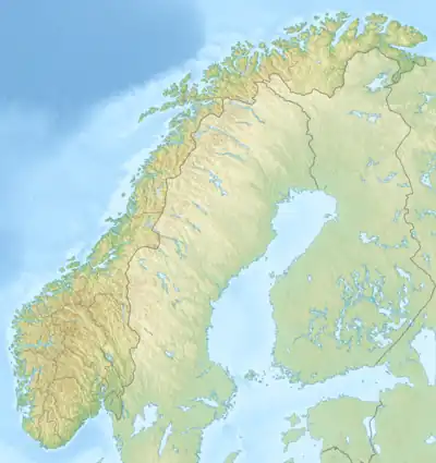 Stuorajávri Stuorajávri (Norway) Show map of Norway | |
| Location | Kautokeino, Troms og Finnmark |
| Coordinates | 69°08′49″N 22°47′29″E / 69.1470°N 22.7914°E / 69.1470; 22.7914 |
| Basin countries | Norway |
| Max. length | 16 kilometres (9.9 mi) |
| Max. width | 3.7 kilometres (2.3 mi) |
| Surface area | 23.71 km2 (9.15 sq mi) |
| Shore length1 | 81.16 kilometres (50.43 mi) |
| Surface elevation | 374 metres (1,227 ft) |
| References | NVE |
| 1 Shore length is not a well-defined measure. | |
Stuorajávri is a lake in the municipality of Kautokeino-Guovdageaidnu in Troms og Finnmark county, Norway. The 23.71-square-kilometre (9.15 sq mi) lake lies on the Finnmarksvidda plateau, about 11 kilometres (6.8 mi) northwest of the village of Kautokeino.[1]
See also
References
- ↑ "Stuorajávri" (in Norwegian). yr.no. Retrieved 2013-04-03.
This article is issued from Wikipedia. The text is licensed under Creative Commons - Attribution - Sharealike. Additional terms may apply for the media files.