| Gusvatnet (Norwegian) Stoerenjuananjaevrie (Southern Sami) | |
|---|---|
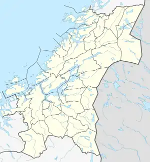 Gusvatnet Location of the lake Show map of Trøndelag Gusvatnet Gusvatnet (Norway) Show map of Norway | |
| Location | Lierne, Trøndelag |
| Coordinates | 64°16′57″N 13°29′20″E / 64.2825°N 13.4889°E / 64.2825; 13.4889 |
| Primary outflows | Guselva |
| Basin countries | Norway |
| Max. length | 5.5 kilometres (3.4 mi) |
| Max. width | 1 kilometre (0.62 mi) |
| Surface area | 4 km2 (1.5 sq mi) |
| Shore length1 | 13.52 kilometres (8.40 mi) |
| Surface elevation | 536 metres (1,759 ft) |
| References | NVE |
| 1 Shore length is not a well-defined measure. | |
Gusvatnet (Norwegian) or Stoerenjuananjaevrie (Southern Sami) is a lake in the municipality of Lierne in Trøndelag county, Norway. The 4-square-kilometre (1.5 sq mi) lake flows out into the river Guselva which flows a short distance into the larger lake Lenglingen.[1]
See also
References
- ↑ "Gusvatnet" (in Norwegian). yr.no. Retrieved 2011-09-06.
This article is issued from Wikipedia. The text is licensed under Creative Commons - Attribution - Sharealike. Additional terms may apply for the media files.