| Langvatnet | |
|---|---|
 | |
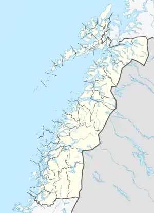 Langvatnet Location of the lake Show map of Nordland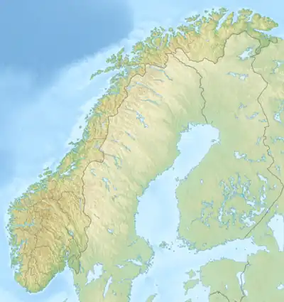 Langvatnet Langvatnet (Norway) Show map of Norway | |
| Location | Rana, Nordland |
| Coordinates | 66°22′15″N 14°05′48″E / 66.3708°N 14.0968°E / 66.3708; 14.0968 |
| Basin countries | Norway |
| Max. length | 17 kilometres (11 mi) |
| Max. width | 3.5 kilometres (2.2 mi) |
| Surface area | 26.38 km2 (10.19 sq mi) |
| Shore length1 | 64 kilometres (40 mi) |
| Surface elevation | 43 metres (141 ft) |
| References | NVE |
| 1 Shore length is not a well-defined measure. | |
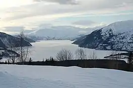
Langvatnet is a lake in the municipality of Rana in Nordland county, Norway. The 26.38-square-kilometre (10.19 sq mi) lake lies just northwest of the town of Mo i Rana. The lake flows out into the river Langvassåga just north of Mo i Rana Airport, Røssvoll. The lake used as a reservoir for the Langvatn hydroelectric power plant in the village of Ytteren, just down the hill from the lake.[1]
See also
References
- ↑ Store norske leksikon. "Langvatnet – innsjø i Rana" (in Norwegian). Retrieved 2011-12-14.
External links
 Media related to Langvatnet at Wikimedia Commons
This article is issued from Wikipedia. The text is licensed under Creative Commons - Attribution - Sharealike. Additional terms may apply for the media files.