| Harrsjøen | |
|---|---|
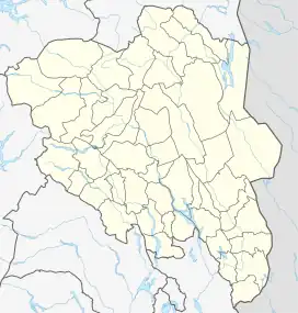 Harrsjøen Location of the lake Show map of Innlandet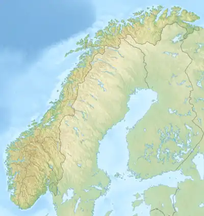 Harrsjøen Harrsjøen (Norway) Show map of Norway | |
| Location | Rendalen, Innlandet |
| Coordinates | 61°51′30″N 11°1′33″E / 61.85833°N 11.02583°E / 61.85833; 11.02583 |
| Primary outflows | Hårenna river |
| Basin countries | Norway |
| Max. length | 3.7 kilometres (2.3 mi) |
| Max. width | 800 metres (2,600 ft) |
| Surface area | 2.31 km2 (0.89 sq mi) |
| Shore length1 | 9.25 kilometres (5.75 mi) |
| Surface elevation | 676 metres (2,218 ft) |
| References | NVE |
| 1 Shore length is not a well-defined measure. | |
Harrsjøen is a lake in Rendalen Municipality in Innlandet county, Norway. The 2.31-square-kilometre (0.89 sq mi) lake lies about 3 kilometres (1.9 mi) southwest of the village of Bergset and about 8 kilometres (5.0 mi) northeast of the village of Hanestad. The lake has an outlet in the south through the river Hårenna, a tributary of the river Renaelva.[1]
See also
References
- ↑ "NVE Innsjødatabase". Norwegian Water Resources and Energy Directorate. Retrieved 2020-12-19.
This article is issued from Wikipedia. The text is licensed under Creative Commons - Attribution - Sharealike. Additional terms may apply for the media files.